


Inaugural-cum-Valedictory ceremony of Geoinformatics (GIS) Training Programme held
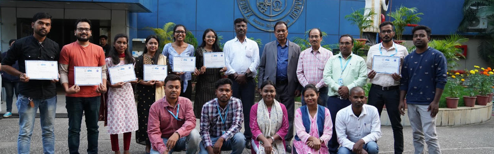
An Inaugural-cum-Valedictory ceremony of the Geoinformatics (GIS) Training Programme was held at XISS on 22.10.2022. Geoinformatics is a six-month long Training Programme run at XISS with 30 seats and students from any discipline of UG, PG as well as ITI Training Programmes apply for this programme. This Training Programme began in 2016 and till now 11
batches have passed out and secured placements.
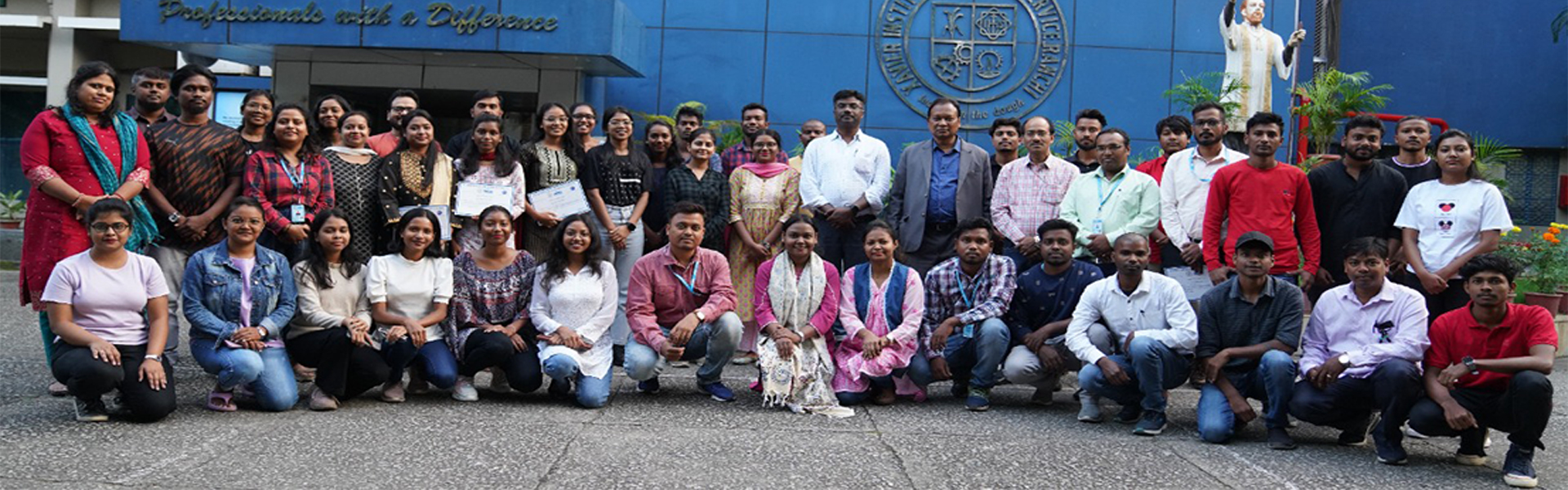
During the ceremony, the new batch of 30 students were inducted for the six-month training programme, while 24 students from the passing out batch were awarded their course completion certificates.
Dr Joseph Marianus Kujur SJ, Director, XISS welcomed the students and congratulated them for choosing this training programme which has high demand and employability in almost every sector today, and advised them to work hard and be well determined.
Dr Amar E. Tigga, Dean Academics, XISS motivated the new batch and said that the scope of this field is enormous in sectors such as Education, Agriculture, Mining, and Infrastructure. The students should work hard in this Training Programme and must apply this knowledge in the relevant fields to solve the problems of the industry and common people.
Dr Prakash Chandra Dash, Assistant Professor and Coordinator of the programme informed that Geoinformatics as a branch of studies, owing to its wider applications in various areas is rapidly gaining popularity and its acceptance by both government and private agencies is attracting students. Students from the last few batches have secured jobs in Smart City Project, MGNREGA, Forest Department, Revenue Department, PMGSY, Road Development Dept, JSAC, Agriculture Department, Mining, Urban Development, Drinking Water Department, Survey of India as well as in the Private Sector and other non-governmental organizations.
During the course, students are taught about both concept and practical applications of GIS and Remote Sensing which they can apply in the fields of Urban Planning, Weather Forecasting, Land Information Management System, Watershed Management Projects, etc. In this Training Programme, ArcGIS, ERDAS, ENVI, i-GIS, Q-GIS etc. software is taught along with training in GPS, DGPS, and ETS survey instruments. Mr Sunil Pratap Kumar, Research Assistant for the Geoinformatics Training Programme along with students of the current and passing out batch were also present during the event.